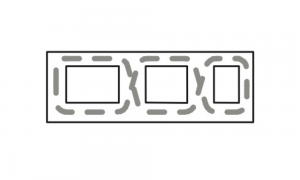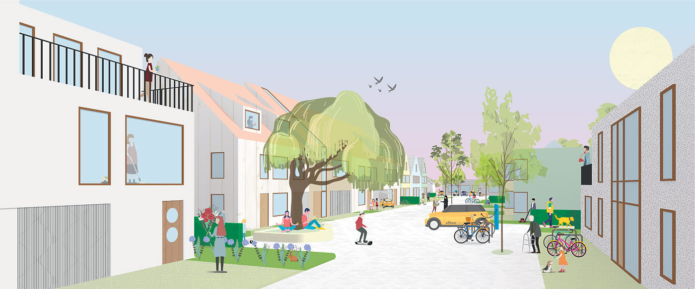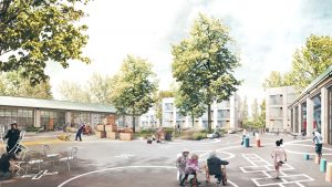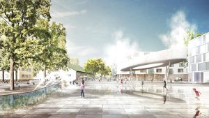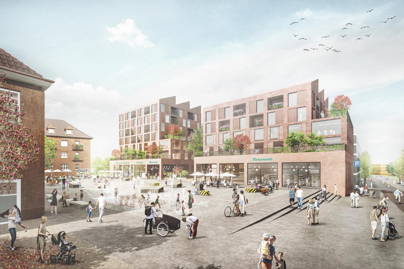
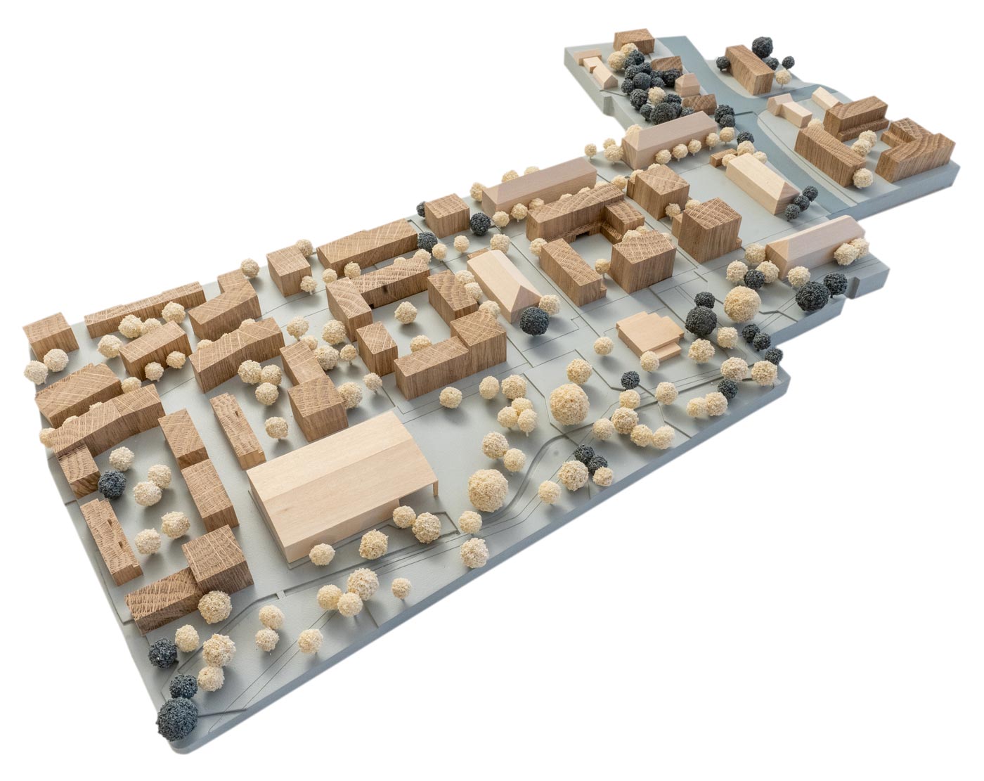
Circular Neighbourhood
A multiple strategy of adaptation, unsealing, rebuilding, reuse, completion of new buildings pays tribute to the existing structure as an urban mine and is the starting point for an integrated and sustainable development. Existing buildings and elements of open space are material resources that not only shape the character in the new neighbourhood, but also address the concern for the existing fabric and foster sustainability through circular design. This subject finds expression in an open and simple urban figure with interconnecting pathways.
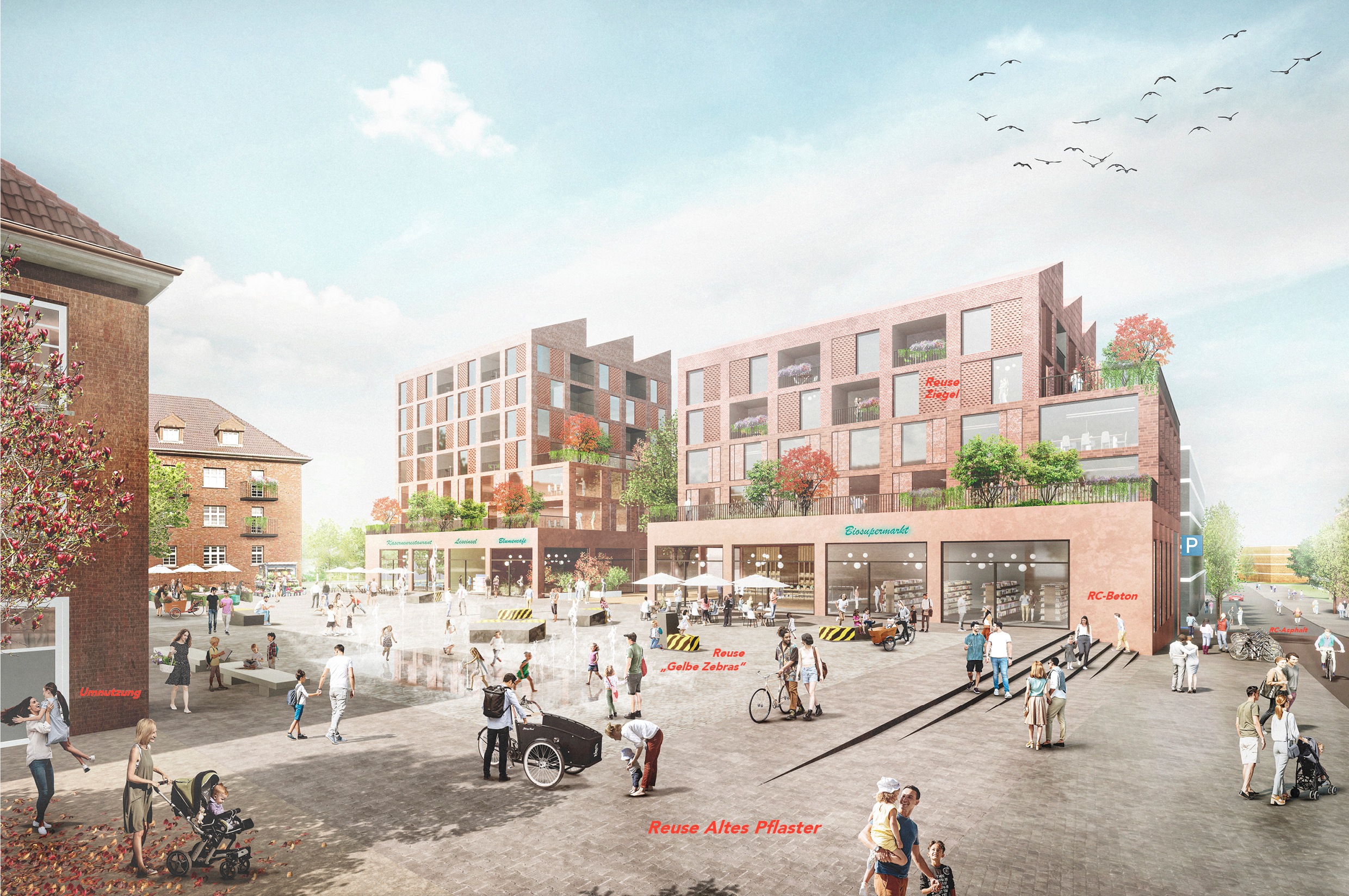
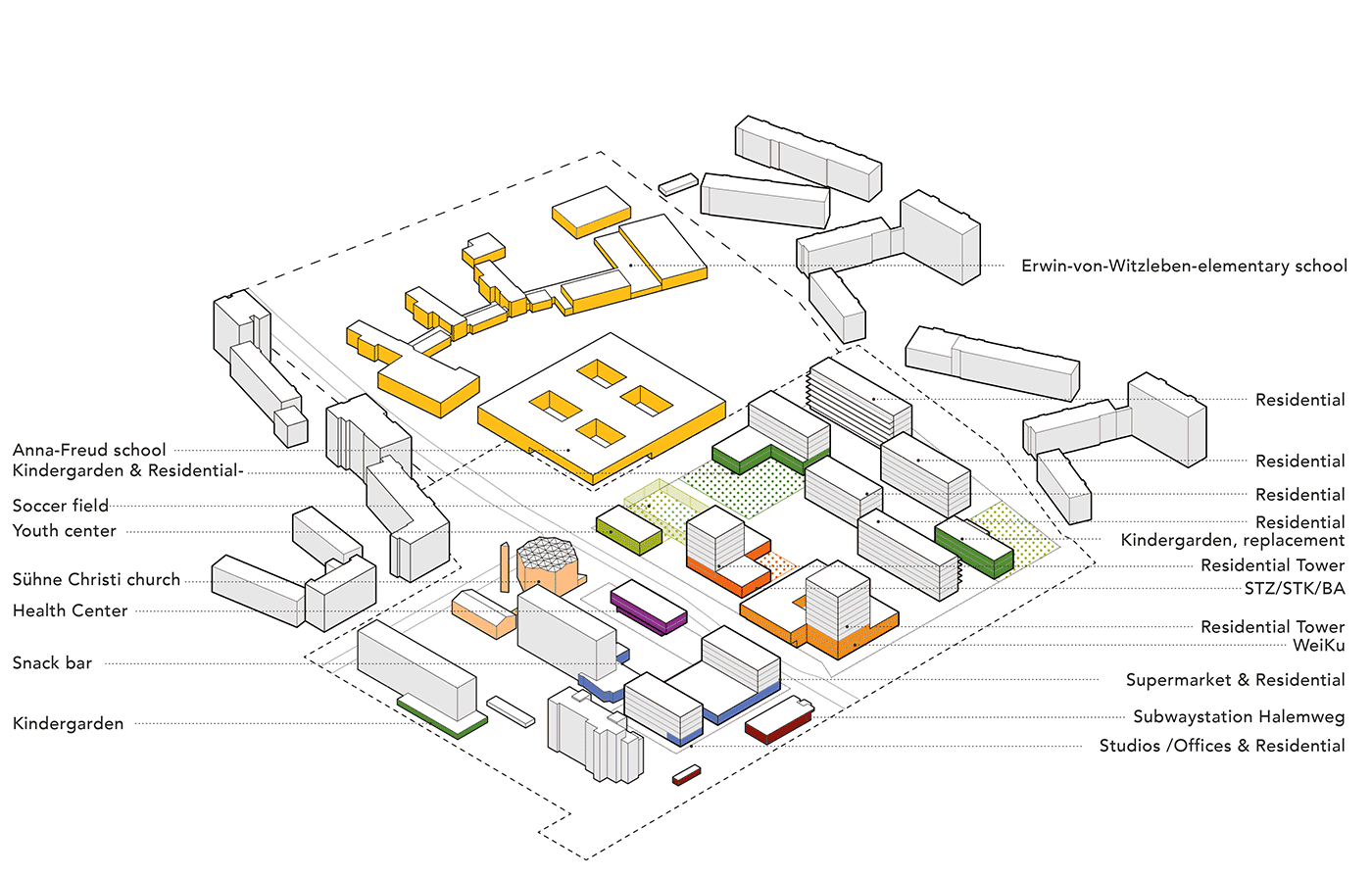
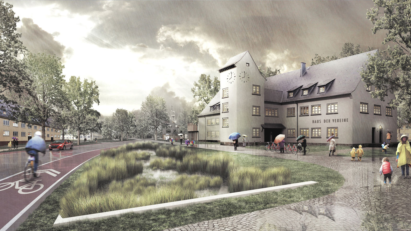
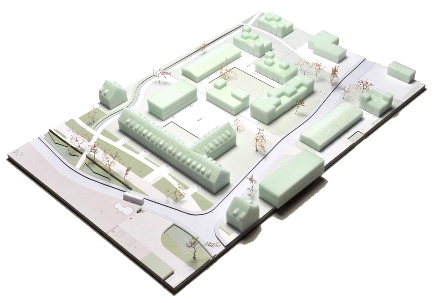
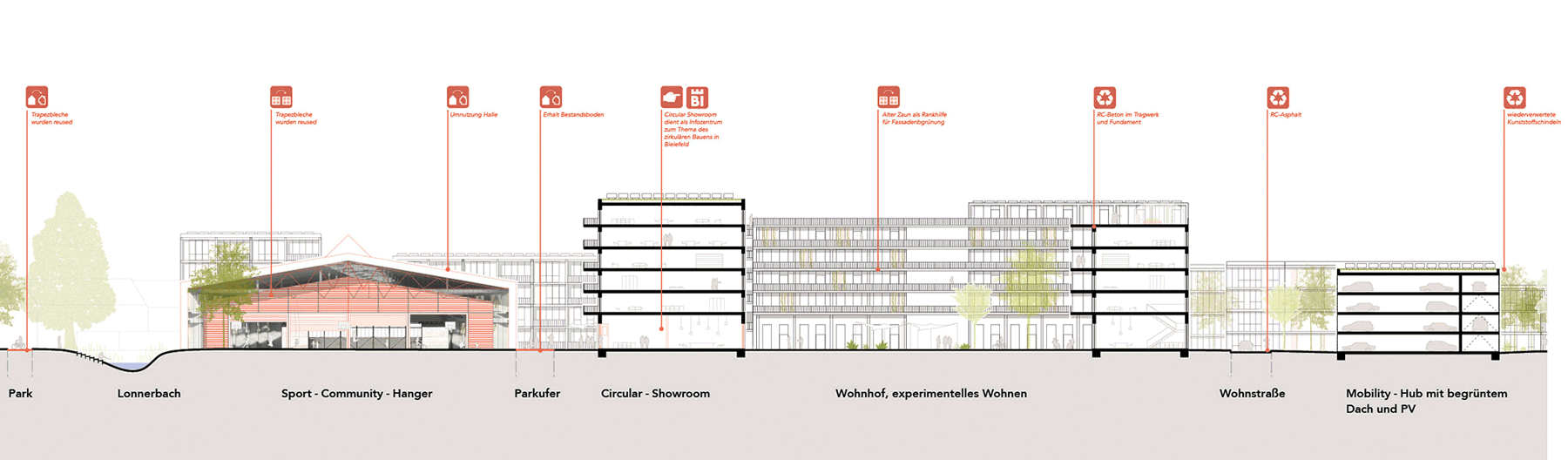
The conversion of urban barracks in an inner-city area offers special opportunities for a resource-sensitive urban transformation. The extensive building stock is a space and material resource and opens up the possibility of closed recycling loops. In terms of resource management, the preservation of the existing buildings has priority. The urban structure is chosen in such a way that usable existing buildings can be reused beyond the specifications of the competition. Those that cannot be used are selectively dismantled in order to reuse or recycle materials.
This is made possible by process-oriented planning and a related set of rules that lays the foundation for circular construction: The materials are recorded at an early stage through a reuse assessment and made available to the planning with their quantities and qualities in a material market for local use and recycling.
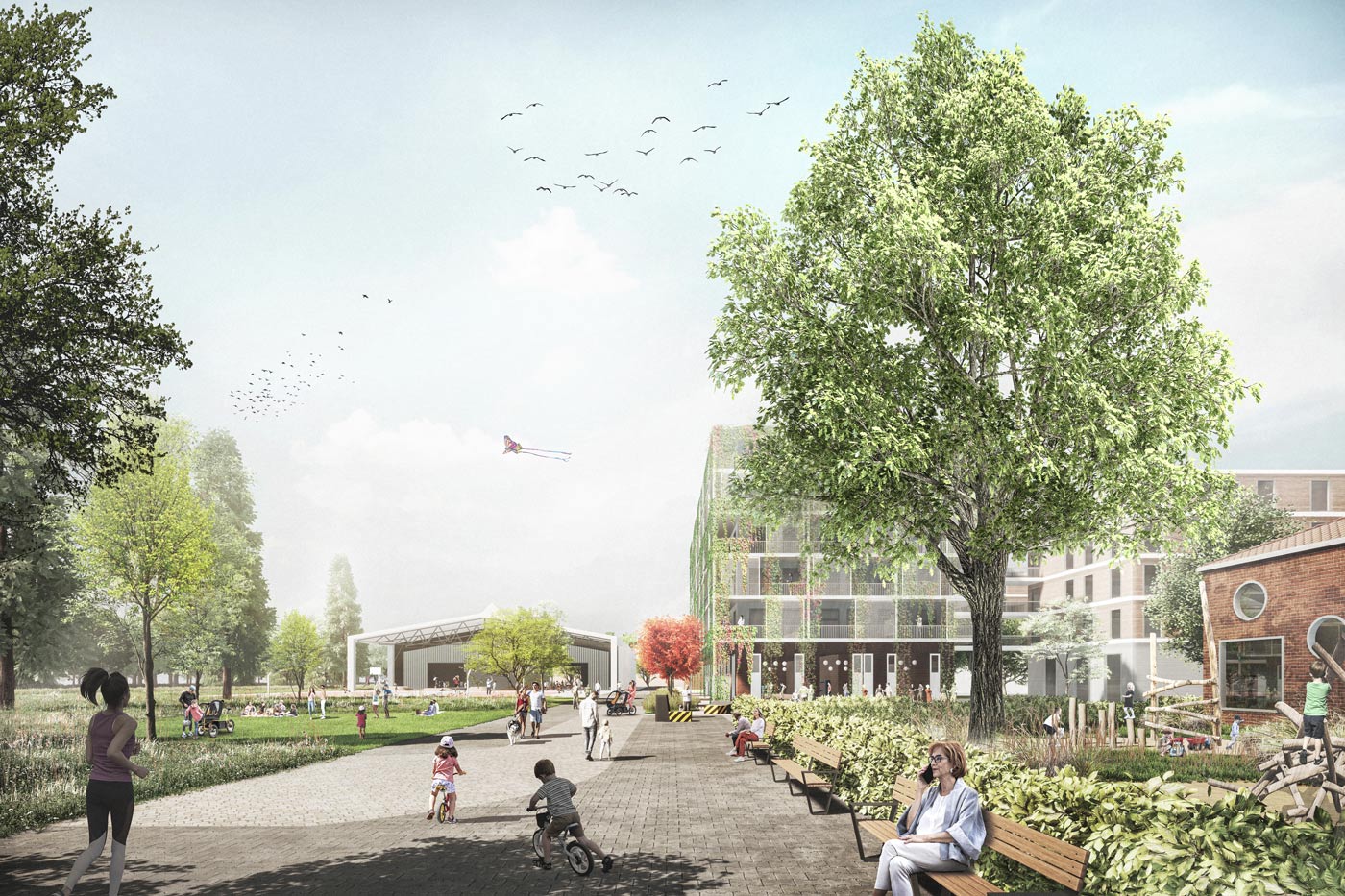
The Circular Neighbourhood can show what is possible through its model character. Circular processes can be communicated and conveyed in the circular showroom. It creates a new and old context in the form of reused structures and materials with patina, which can not only shape the character in the new quarter, but also promotes circular building in its formation and operation.
Urban planning realisation competition (1st price) and implementation
Programme: Mixed and experimental Neighbourhood, 11 ha
Location: Bielefeld, DE
Year: 2021-2024
Client: City of Bielefeld
Team: Therese Granberg, Joachim Schultz-Granberg, Daniel Heuermann, Augusta Verbiesen
Partner: bbz landscape architects berlin, Concular, A.Calitz Visual

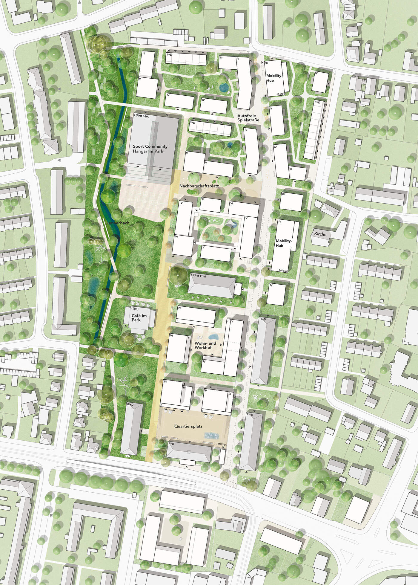
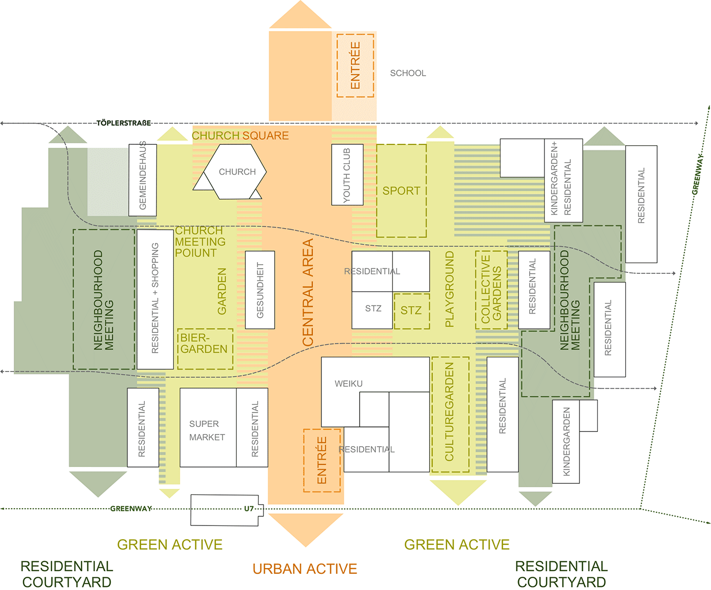
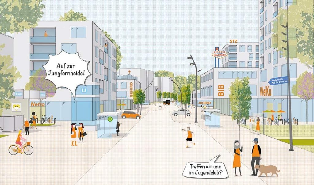
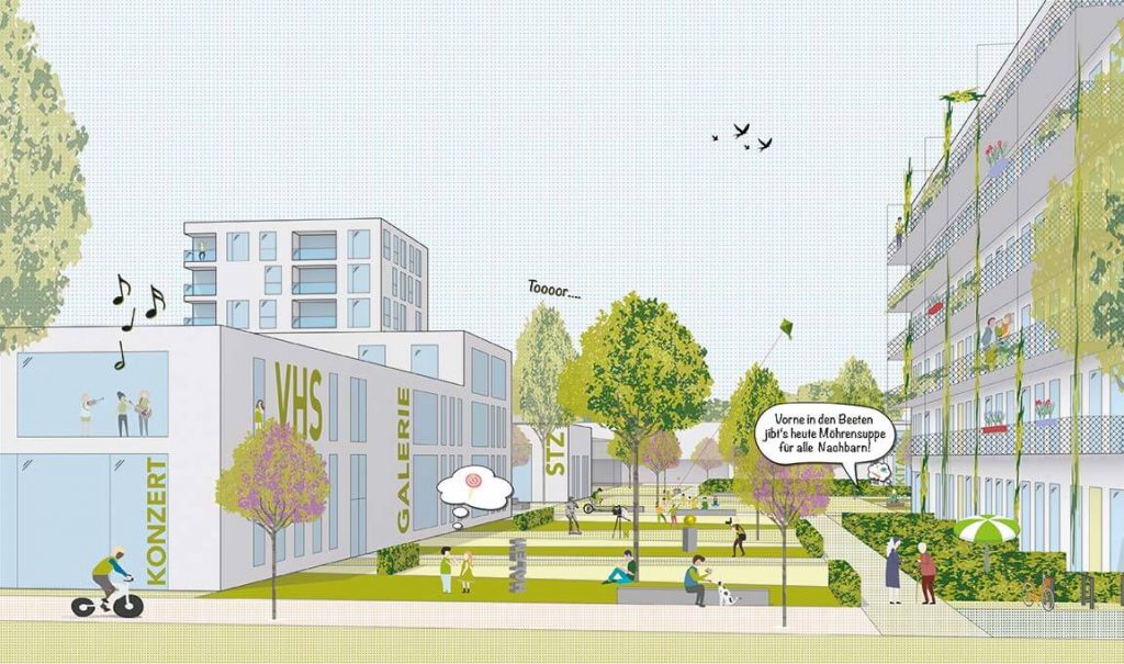
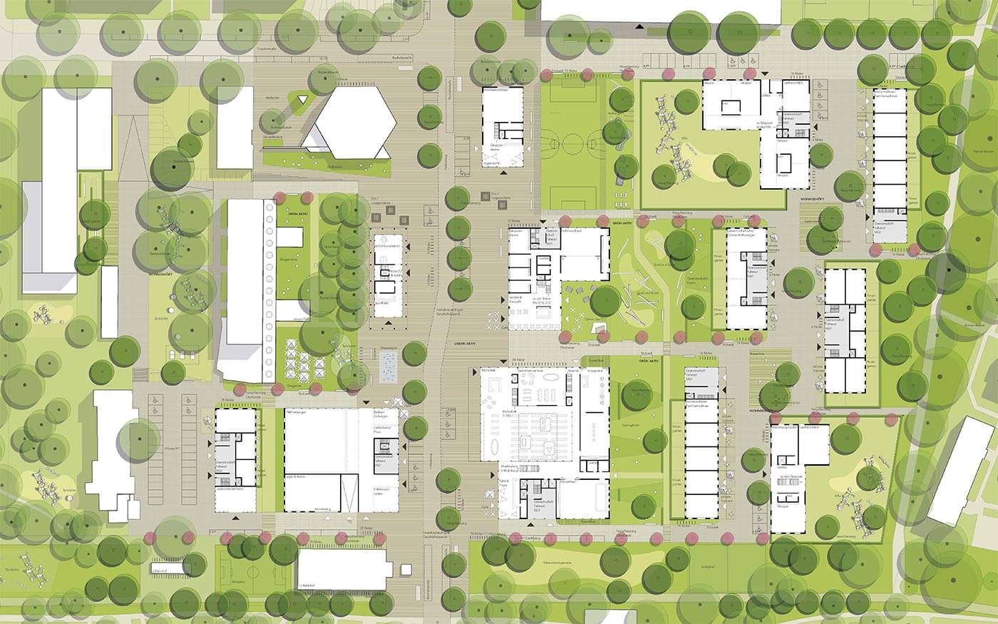
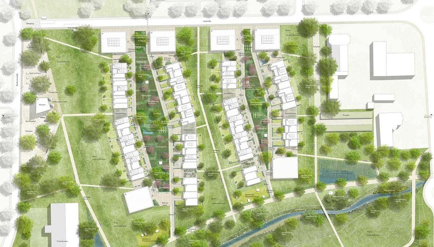
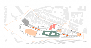
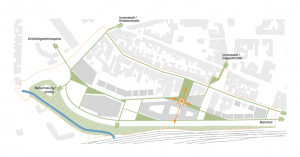
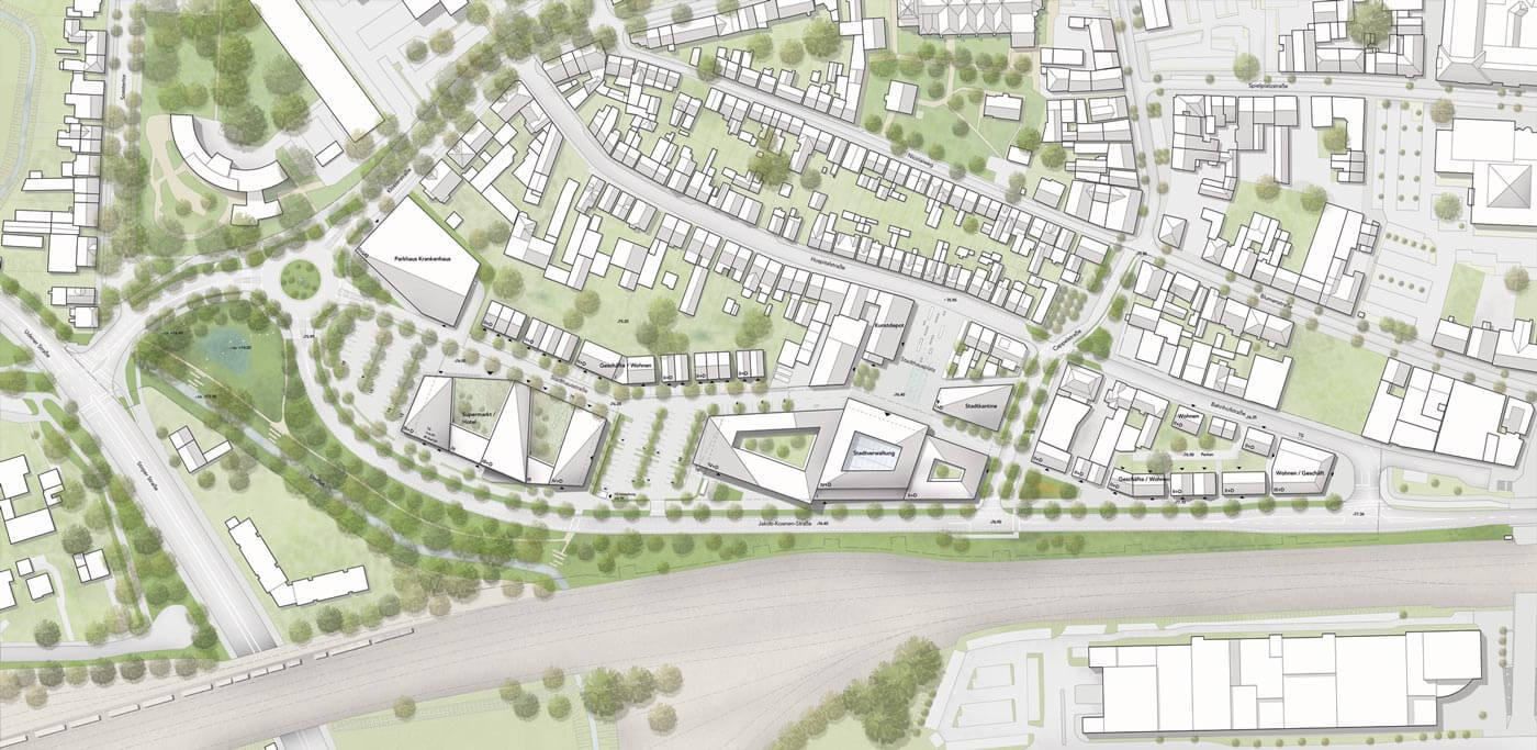
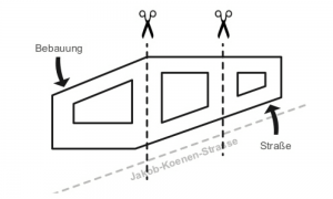
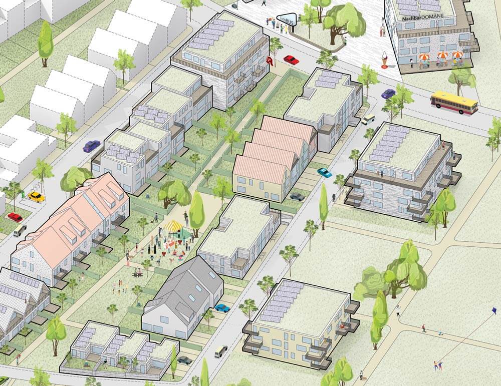
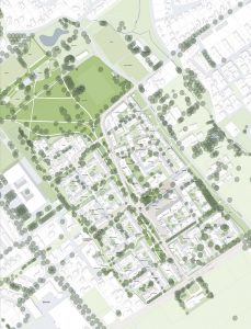
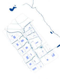
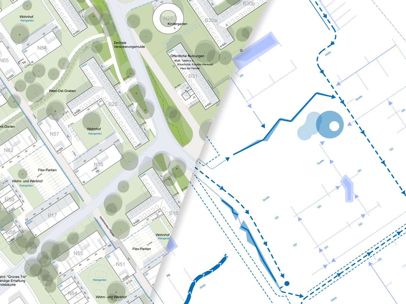
The opening up of the Rochdale barracks offers the opportunity for a connection of the surrounding neighbourhoods. Former rearsides become forefronts and new interfaces offer valuable spaces for new and old residents. All existing pathways will be taken up by the urban structure and streets will continue to be used. The structure of the area is determined by the position of the entrances in the south:
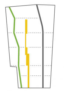
Three differently characterised lines divide the area in a north-south direction: 1) The traffic-calmed residential street in the east provides access to the decentrally located mobility hubs. 2) A slightly swinging path leads through the park in the west. 3) The interface between the park and the building sites is marked by the “shore”, a boulevard for pedestrians and cyclists. Cross-connections link up with existing and potential paths and streets and, together with the three lines, form a robust basic structure with clearly cut building plots.
related projects
Oxford Barracks

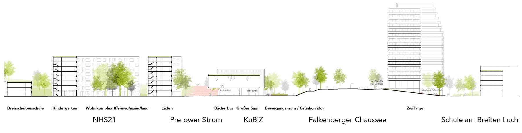 Schnitt durch die Falkenberger Chaussee, Blick nach Nordosten
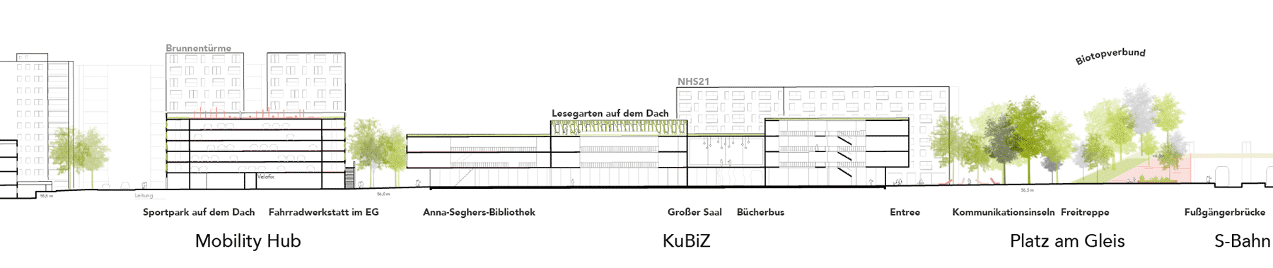 Schnitt durch das Kultur und Bildungszentrum (KuBiZ) mit direktem Zugang zur S-Bahn